Accurate Navigation for Canada and Alaska
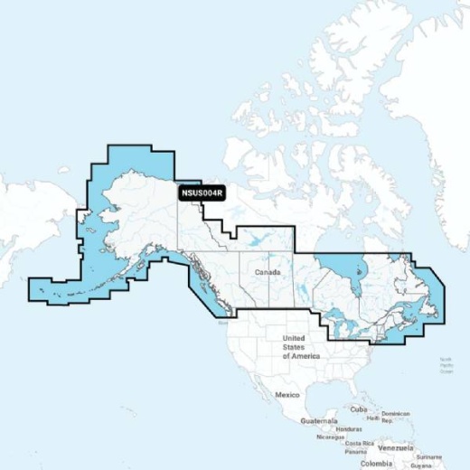
Are you planning a boating trip to Canada or Alaska? Look no further than the Garmin Navionics NSUS004R Canada & Alaska chart. As part of the Garmin Navionics+ series, this chart provides highly detailed and accurate charts and maps of the region, ensuring you have a safe and enjoyable journey.
Advanced Navigation Features
The Garmin Navionics NSUS004R Canada & Alaska chart offers a range of advanced navigation features, including Auto Guidance, which provides a suggested route to follow, and Dynamic Lake Level, which adjusts lake levels to match current water conditions.
Detailed Lake and Marine Charts
With the Garmin Navionics NSUS004R Canada & Alaska chart, you'll have access to detailed lake and marine charts, including depth contours, buoys, beacons, and other navigation aids. This ensures you have a clear understanding of the waterways and can navigate with confidence.
Daily Chart Updates
One of the key benefits of the Garmin Navionics NSUS004R Canada & Alaska chart is that it provides daily chart updates, ensuring you have the most accurate and up-to-date information available.
Seamless Integration
The Garmin Navionics NSUS004R Canada & Alaska chart is compatible with a range of Garmin devices, including the GPSMAP and echoMAP series, making it easy to integrate into your existing navigation system. Simply download the chart to your device and start navigating today.