Tablet & Smartphone Apps: Custom apps allow you to wirelessly view and control TZtouch from any iPhone, iPad, or iPod Touch (Other mobile platforms to be supported in the future.)
WiFi Hotspot Connectivity: TZtouch has WiFi connectivity, enabling the ability to download useful updates, such as real-time weather data, via the Internet
Add Radar, Network Fish Finder, AIS, and a variety of other sensors
Built on an Ethernet network
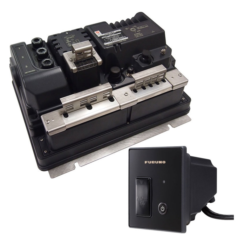
NMEA2000 network interface
Network up to 6 TZtouch displays or black box systems
Preloaded with FREE official NOAA raster and vector charts
Optional "C-Map by Jeppesen" and "Datacore by Navionics" vector cartography available for purchase
Dual SD Card slots
FREE high resolution satellite photos of US available for download
Save up to 30,000 user points, 30,000 ships track points and 1,000 planned routes with up to 500 waypoints per route
Shipping specs
Weight
31 lbs
Dimensions
21" x 17" x 17"
Shipping weight
31 lbs
Shipping dimensions
17" x 17" x 21"
Shipping from
This product is shipped from our supplier's warehouse in NJ, United States
Our guarantee
This product is brand new and includes the manufacturer's warranty, so you can buy with confidence.
A 25% handling charge is levied against all authorized returns except those due to our error. Unauthorized returns are subject to a 40% handling charge. Damages & defects must be reported to us within 14 days.