Explore South America's Waters with Garmin
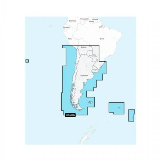
Are you planning a sailing or fishing trip to Chile, Argentina, or Easter Island? Look no further than Garmin's Chile Argentina, Easter Isl. Garm chartplotter. This highly detailed marine chart provides everything you need to navigate South America's waters with confidence.
Highly Detailed Charts
Garmin's Chile Argentina, Easter Isl. Garm chartplotter features highly detailed marine charts that include shorelines, depth contours, buoys, and other important marine data. Whether you're sailing, fishing, or just exploring, these charts will help you stay safe and on course.
Compatible with Garmin Devices
Garmin's Chile Argentina, Easter Isl. Garm chartplotter is compatible with a range of Garmin plotters and chartplotters, including the GPSMAP and echoMAP series. Simply insert the microSD card and start navigating.
Plan Your Route
With Garmin's Chile Argentina, Easter Isl. Garm chartplotter, you can plan your route in advance and navigate with confidence. The chartplotter displays tides, currents, and other marine data, helping you avoid hazards and find the best routes.
Buy Online Today
Ready to explore South America's waters? Buy Garmin's Chile Argentina, Easter Isl. Garm chartplotter online today and start planning your next adventure. With its highly detailed charts and compatibility with Garmin devices, this chartplotter is the perfect tool for any sailor, fisherman, or explorer.